Kottenheimer Winfeld, © Vulkanpark, Martin Christ

Kottenheimer Winfeld - Vulkanparkstation

Kottenheim

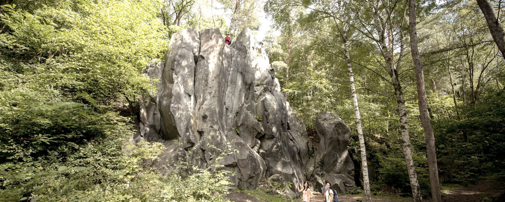
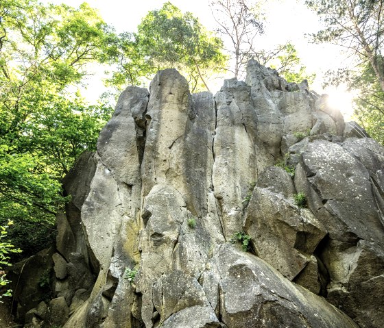
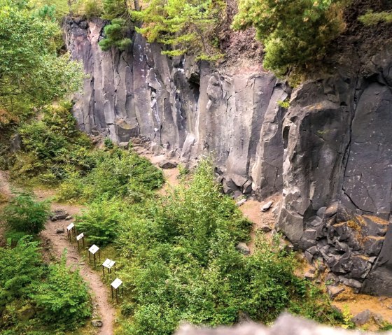
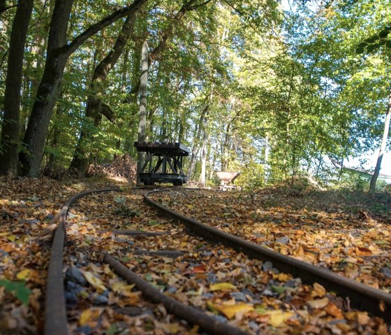
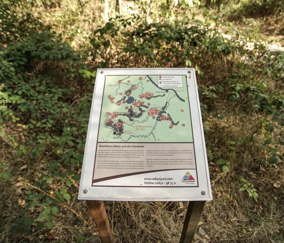
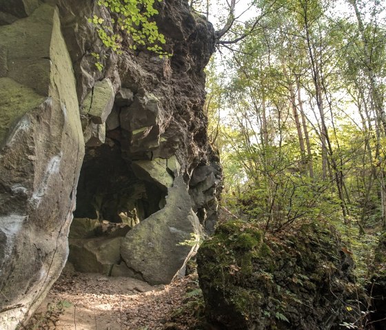
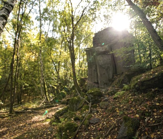
The "Kottenheimer Winfeld" is a former quarry area in the area of the municipality of Kottenheim and owes its origin to the eruption of the Bellerberg volcano about 200,000 years ago. During the eruption, three lava flows flowed from the crater area. The stream north of the crater filled an old valley and reached a high of about 40 meters. Especially during the last 150 years, high walls of basalt rock were exposed in the area of the "Kottenheimer Winfeld" due to intensive stone mining.
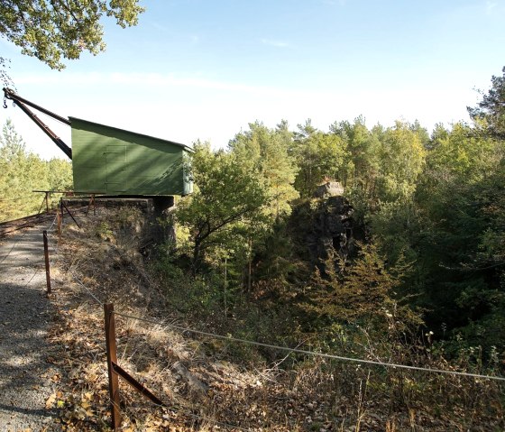
Today, the idyllic pit landscape with its bizarre rock formations and relics from bygone times, such as crane bases and pit cranes, is part of the volcano park as a landscape monument.
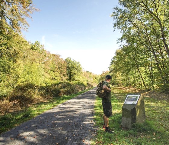
The "Traumpfad Vulkanpfad" offers as a walkinground insight to the volcanic history of our region and connects several stations of the Vulkanpark in an impressive way.
Today, the imposing lava walls also serve as a climbing area.

mehr lesen

Share content:

At a glance

Opening hours

  • From January 1st to December 31st
    Monday
    00:00 - 23:59

    Tuesday
    00:00 - 23:59

    Wednesday
    00:00 - 23:59

    Thursday
    00:00 - 23:59

    Friday
    00:00 - 23:59

    Saturday
    00:00 - 23:59

    Sunday
    00:00 - 23:59

The "Kottenheimer Winfeld" can be visited year-round, depending on the weather.

Place

Kottenheim

Contact

Parkplatz an der K20 zwischen Ettringen und Kottenheim
K 20
56736 Kottenheim
Phone: +492651 800 995

Homepagewrite e-mail

Bitte akzeptieren Sie den Einsatz aller Cookies, um den Inhalt dieser Seite sehen zu können.

Alle Cookies Freigeben

Plan your journey

per Google Maps

You might also be interested in

Blick auf Wanderath, © Foto: Svenja Schulze-Entrup, Quelle: Touristik-Büro Vordereifel

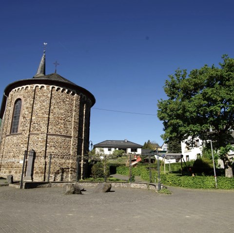
Pfarrkirche St. Valerius, Baar-Wanderath

The verifiable building history of the parish church in Wanderath begins in the 13th century. The original church is Romanesque, around 1500 the late Gothic nave, today's aisle, was built with the help of the Counts of Virneburg, who were the patrons of the church. When the church was enlarged by a south and north aisle around 1530, the side walls of the old church were broken through. In 1655 Wanderath becomes an independent parish. These include the places Engeln, Büchel, Freilingen, Nitz, Ober- Mittel- and Niederbaar, Herresbach, Eschbach, Döttingen, Siebenbach and Drees. Virneburg was added at the beginning of the 19th century. For this, Drees is assigned to Welcherath. In 1896/1897 the current, neo-Gothic main nave was built. The two Gothic aisles are being demolished. In 1921/1922 the church was expanded again. The then octagonal sacristy was torn down and the current one built. The main nave was lengthened by 10 m and the gallery was built. The tower was raised by 6 meters. In addition, the church received a continuous roof area. Since then, the outward view has not changed. Since Wanderath only consisted of a church, a rectory, a school and a residential building until the middle of the 19th century, there are many legends and myths surrounding the question of why a church was built in the poor Wanderath at all.